The Saint-Marcel cave opens at the entrance to the Ardèche gorges, in the commune of Bidon. With 64.2 kilometres of surveyed galleries, it is the largest underground network in the department and the fourth largest in France.
The site usually deals with cavities dug by people. This one is the work of water alone, and these photographs were taken on a first caving trip, in the company of a friend who is a guide.
The Messinian salinity crisis
Understanding the cave means going back 5.9 million years. Under the thrust of the African plate, the Strait of Gibraltar closed almost completely. Cut off from the Atlantic, the Mediterranean evaporated and its level fell by about two thousand metres. Its floor retains a thick layer of salt from this. The episode is known as the Messinian salinity crisis. It lasted roughly six hundred thousand years.
Rivers sought to reach this very low level. The Rhône and the Ardèche cut their canyons several hundred metres deep, and the first Saint-Marcel network formed at depth.
5.3 million years ago, the strait reopened. It is thought that a waterfall coming from the ocean eventually wore away the sill. The Mediterranean filled up again and flooded the network. Under the pressure of the water, and as clay was deposited, the hollowing-out progressed from the bottom upwards: it is said to take place per ascensum. The oldest galleries therefore lie beneath the most recent ones.
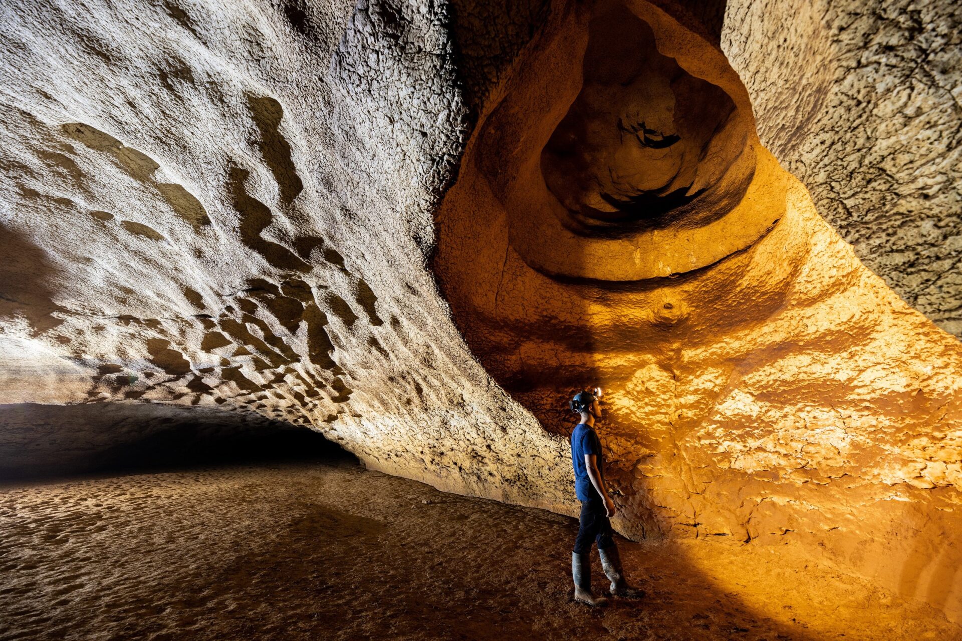
Between two million and one million years ago, water seeping in from the Bidon and Saint-Remèze plateaus cleared out part of these clays. What remains are the reddish-brown deposits that line the floors and walls throughout the network.
Five levels over 325 metres
In 1836, a hunter from Aiguèze entered the cave on the trail of a wounded rabbit. He came back in 1838 with friends and torches. Édouard-Alfred Martel published the first complete description of it in 1894, in “Les Abîmes”. His survey covers 2,260 metres.
The network has kept growing longer ever since. In 2004 it measured 56,160 metres. The connection with the aven de Noël, in 2019 and 2020, took it beyond 64 kilometres. It is arranged in five levels over a height of 325 metres: three upper fossil levels, abandoned by the underground river, and two levels that are still active. The deepest goes down to 107 metres below the present bed of the Ardèche. With 19 kilometres of flooded galleries, it is the longest flooded network in France.
The part developed for visitors amounts to only about six hundred metres. Since 1989, it has been entered through a 122-metre tunnel.
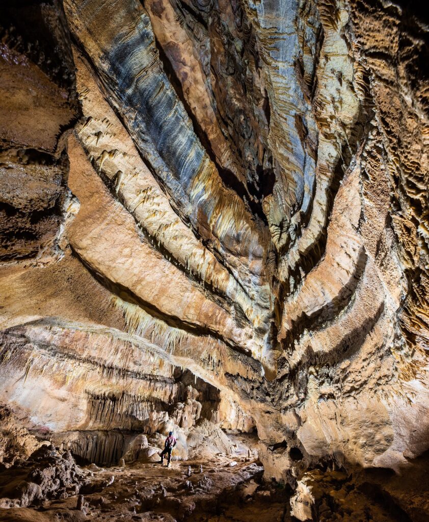
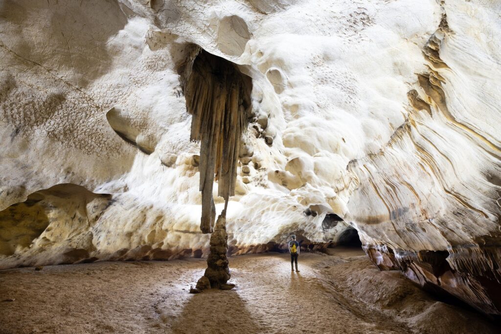
The formation of speleothems
It all begins with rain. As it passes through the soil, the water takes up carbon dioxide and becomes acidic, which allows it to dissolve limestone. When it emerges into the cavity, it deposits this limestone as calcite, drop by drop.
The growth rate depends on too many factors for a speleothem to be dated by its size. That takes a laboratory. Forty-four fragments of stalagmites taken at Saint-Marcel, studied by French and Australian researchers, gave ages ranging from 390,000 to 2,000 years.
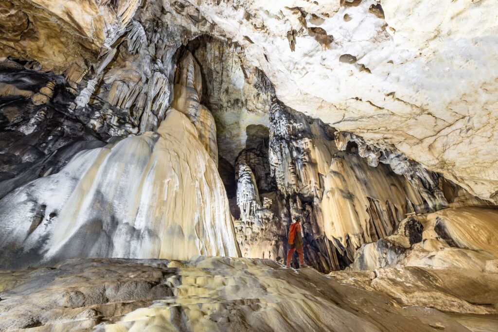
Other photographs of the Saint-Marcel cave
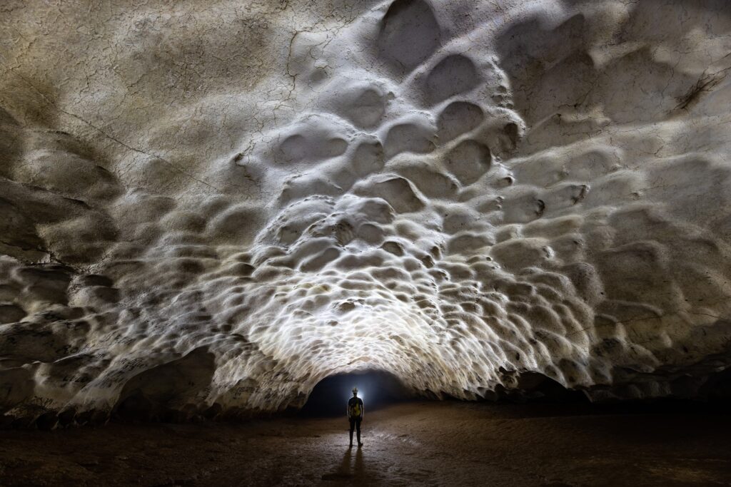
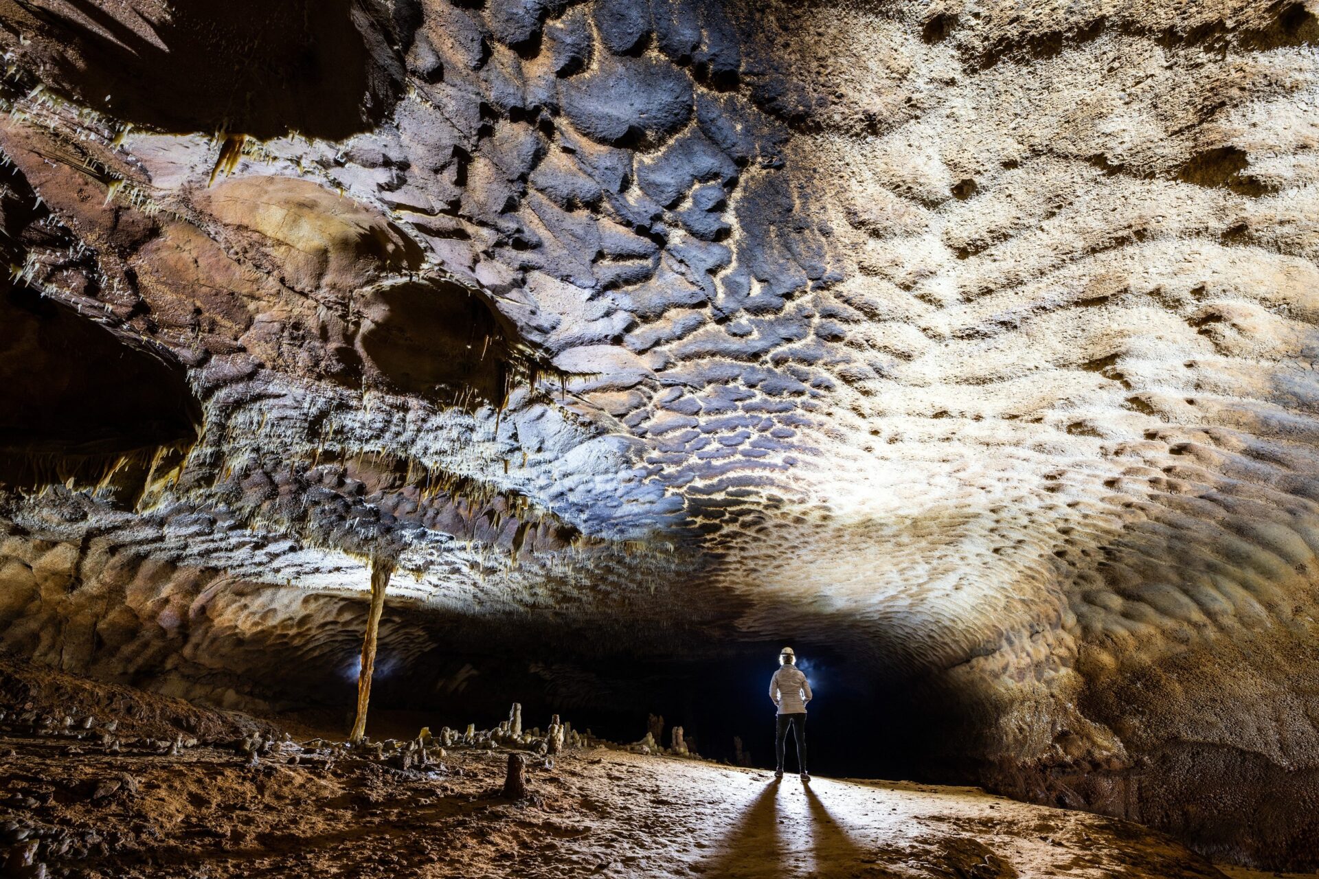
A gallery marked with scallops
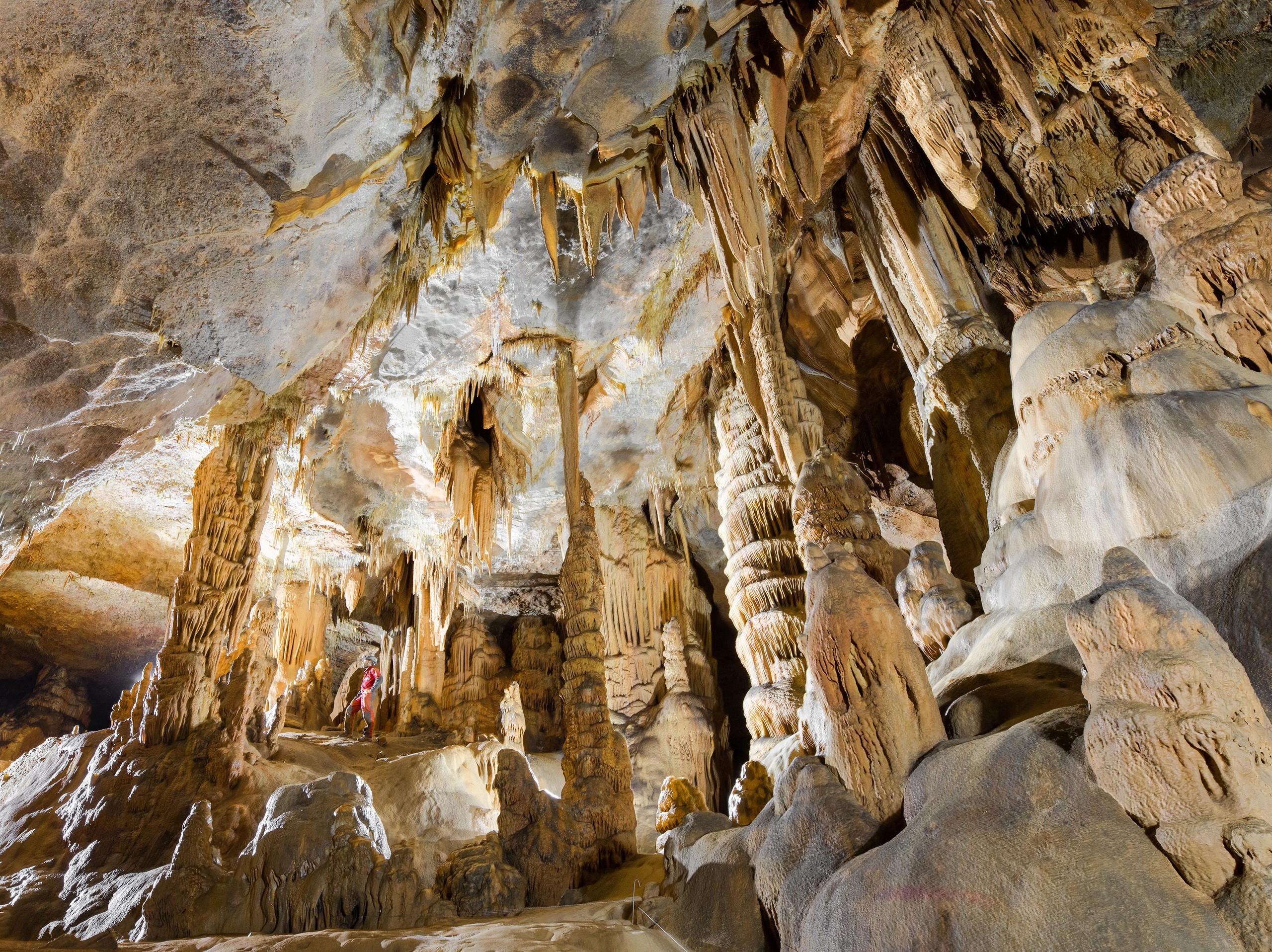
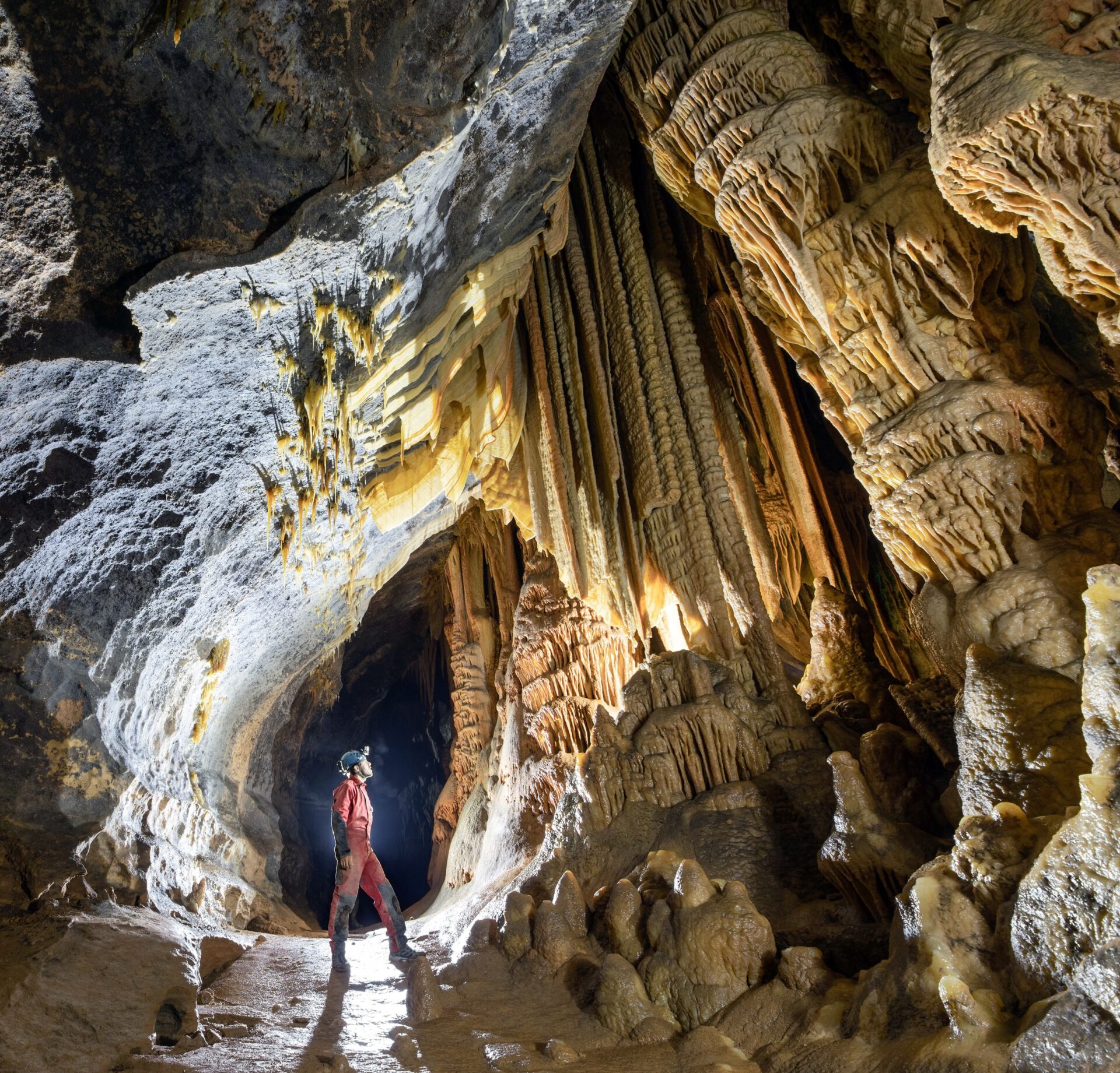
Immense leaning columns above the caver
A gallery that seems to be held up by a single column
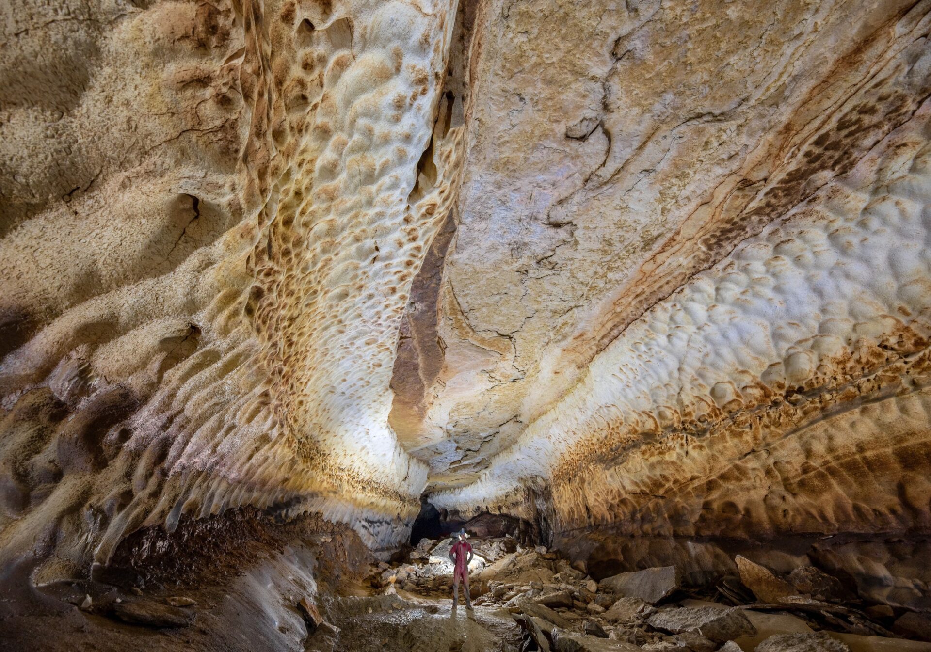
A corridor with water-sculpted walls
Sources: Saint-Marcel cave website, “Explorer” and “Étudier” pages; Wikipédia, “Grotte de Saint-Marcel”
These photographs are part of the underground heritage photography collection.